To enable safer journey planning by bike, the NTA have mapped all protected cycle facilities within the Dublin Metropolitan Area (DMA). This consists of cycle infrastructure that is protected from general traffic and are therefore more accessible to people of different ages and abilities. This open data will be useful for third party organisations to ingest into their journey planners and allow them recommend safer travel routes for users.
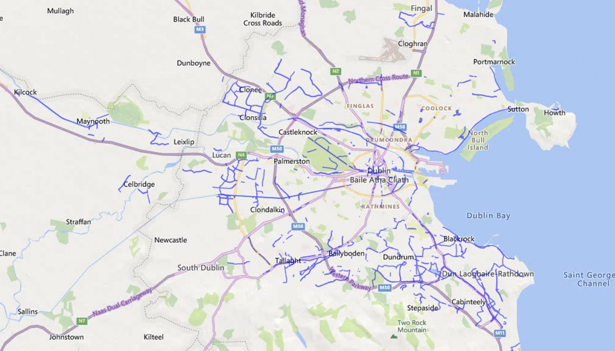
The newest version of this dataset has multiple improvements over its predecessor. It now shows only protected cycle facilities, under 4 categories;
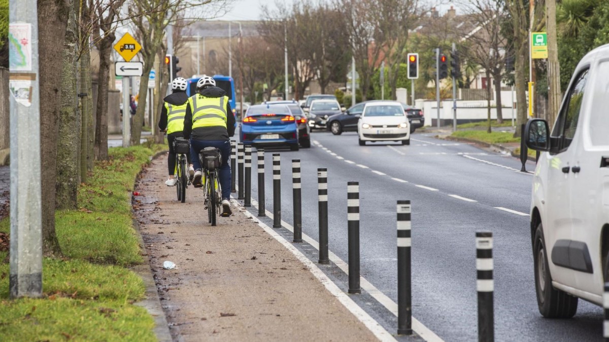
- Cycle facilities protected by a kerb or other physical segregation such as bollards;
- Off road tracks and greenways;
- Cycle facilities at footpath level where the cycle track is distinguished by a different surface; and
- A new category of facility, “Signed Quiet Ways” – these are signed routes which pass through residential areas, where traffic volumes and speeds are low enough to allow for comfortable cycling on the road.
The database omits cycle lanes which are marked by a white line, either on road or as part of a footpath, and bus lanes. Both sides of the roads are now shown, giving a clearer view of the different types of facilities that exist on the same street.

The data allows for continuous improvement of the Dublin Metropolitan Area (DMA) cycle network by identifying new areas for intervention which ultimately leads to an overall safer cycle network. Future plans by the NTA include looking at ways to update this dataset more frequently (e.g. annually) to reflect the ongoing development of the metropolitan cycle network and to do a similar mapping exercise in Cork, Galway, Limerick and Waterford.
The impact (utilisation) of the enhanced DMA cycle network, will be measured in a variety of ways including the Canal Cordon Count (annually), the DMA Walking and Cycling Index (bi-annually), the Census of Population (every 5 years).
See the dataset on our open data portal.
If you have any feedback on this dataset or on the Smart Dublin open data portal in general, please contact us at info@dublinked.ie.