Dublin is now served by three citybikes services: Dublinbikes, Bleeperbike, and the recently launched Moby Bikes ebike system.
Cycling – the smarter way
Dublinbikes, the original and still the biggest city bike scheme in operation, is an initiative of Dublin City Council in partnership with JCDecaux. Dublinbikes operates from stations or ‘docks’ dotted around the area enclosed by Dublin’s canal cordon- essentially the city centre. Bleeperbike launched in 2018 as a ‘dockless’ scheme. This means that riders can collect and return bicycles from Sheffield stands located throughout a designated area extending beyond the city centre- as far as Dun Laoghaire, Howth and Blanchardstown. Finally, Moby, the latest addition, launched in 2020. With the help of battery power, Moby’s ebikes allow cyclists to cover still further distances within a further extended designated area.
Data.smartdublin.ie, the landing page for the Dublinked open data repository, provides API access to Dublinbikes data in near real time, as well as historical data files. The Dublinbikes API enables applications such as the TFI Journey Planner, GeofindIT or Google Maps, to add real time bike availability to their maps and journey planners.
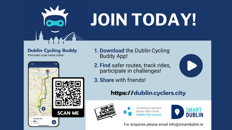
Smart Dublin, with support from our open data service provider Derilinx, also recently added (near) real time Bleeperbike and Moby Bikes data via bespoke APIs, as well as historical data. With this data, developers are able to bring all the bikeshare services together in apps such as Dublin Cycle Buddy. The Dublin Cycle Buddy map allows users to choose the closest available bikeshare from any of the companies- functioning as a route planner for cyclists, while providing further bike-friendly features.
While the abovementioned applications show bike locations and availability for Dublin, they are not fully integrated with public transport for journey planning purposes. Other locations take bikeshare integration a step further. For example, Citymapper London will tell you where and when to take the bus into town, but will also tell you when and where to pick up and drop off your bikeshare to complete your journey. We hope and anticipate that a fuller integration of bike share and public transport information on Dublin journey planners is on the way. A subsequent anticipated development is integrated ticketing. Integrated ticketing will allow users to plan their journey and also seamlessly pay for it through the same app- negating the need for separate cards, tickets or applications for each journey mode or leg taken. All of this innovation is made possible through data, and in particular open data.
While the real time APIs are important, historical data is also important as it allows users to create charts, graphs and visualisations: for example the below video showing a week in the life of Dublinbikes. An image is often immediately digestible and sometimes worth a thousand words. The ‘week in the life’ example is both striking and fascinating in equal measure. The historical record is also important because it allows for predictive analysis, for example to anticipate whether bicycles are likely to be available at a given location at a certain time, which allows users to plan their journeys more effectively.
For more interesting visualisations of bike share data across Ireland the UK, check out https://www.schemestats.bike//index.php
The Dublinked open data repository acts as a one-stop shop for bikeshare data for all operators in the Dublin region. We are also continuing to work with the four Dublin local authorities to further expand our mobility and transportation data offer. So researchers, programmers and developers watch this space, and please do reach out to discuss availability of bikeshare or local authority transportation data. We’d be happy to hear how you are using it or what your wants and needs are.