Air Quality Data Hack – One Weekend, 15 teams; 3 winners!
As part of Google Project Air View Dublin over 50 million measurements of hyper local street level air quality data were made openly available at Google EIE Labs and Dublin’s Open Data Platform, Dublinked on the 14th Feb to support future research, advocacy and awareness projects around air quality for Dublin.
To build early momentum and encourage use of this data, the Smart Cities Unit and the Air Quality Unit in DCC as well as Google and Aclima hosted a data hack from the 25-26th Feb. DEPR also supported the hack through their Open Data Engagement Fund. Over 100 participants with over 15 teams spent the weekend hacking the data!
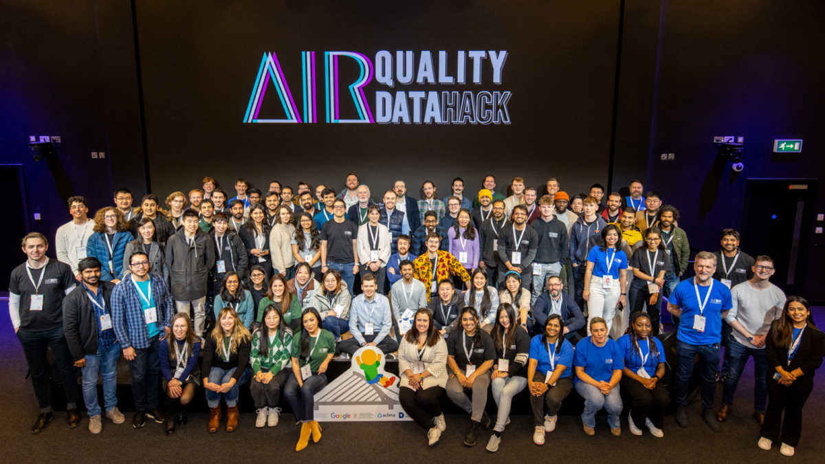 Air Quality Data Hack – Participants and volunteers from Google, Aclima and Dublin City Council; 26th February
Over the course of the hackathon, participants had access to a wide range of urban and environmental open datasets, which allowed teams to develop insights and ideas for improving air quality in different parts of the city under different themes like health, climate action, urban planning and transportation and logistics.
We were really impressed by the ideas demonstrated by the hackathon participants where each of the 15 Teams developed a range of innovative ideas including apps to help individuals make informed decisions about when and where to travel, systems for predicting air pollution levels in different areas of the city, and tools for visualizing air quality data in new and meaningful ways. The top three teams shared a total prizes of 3,250 euro thanks to the DEPR open data engagement fund.
The judging panel included representatives from Google, Aclima and Dublin City Council. The quality of presentations and outputs were really impressive making it very difficult for the judges! The full pitches of all the 15 participant teams can be viewed here.
Announcement of the winners and feedback from the judges available here.
Profile of the winning teams:
First Place
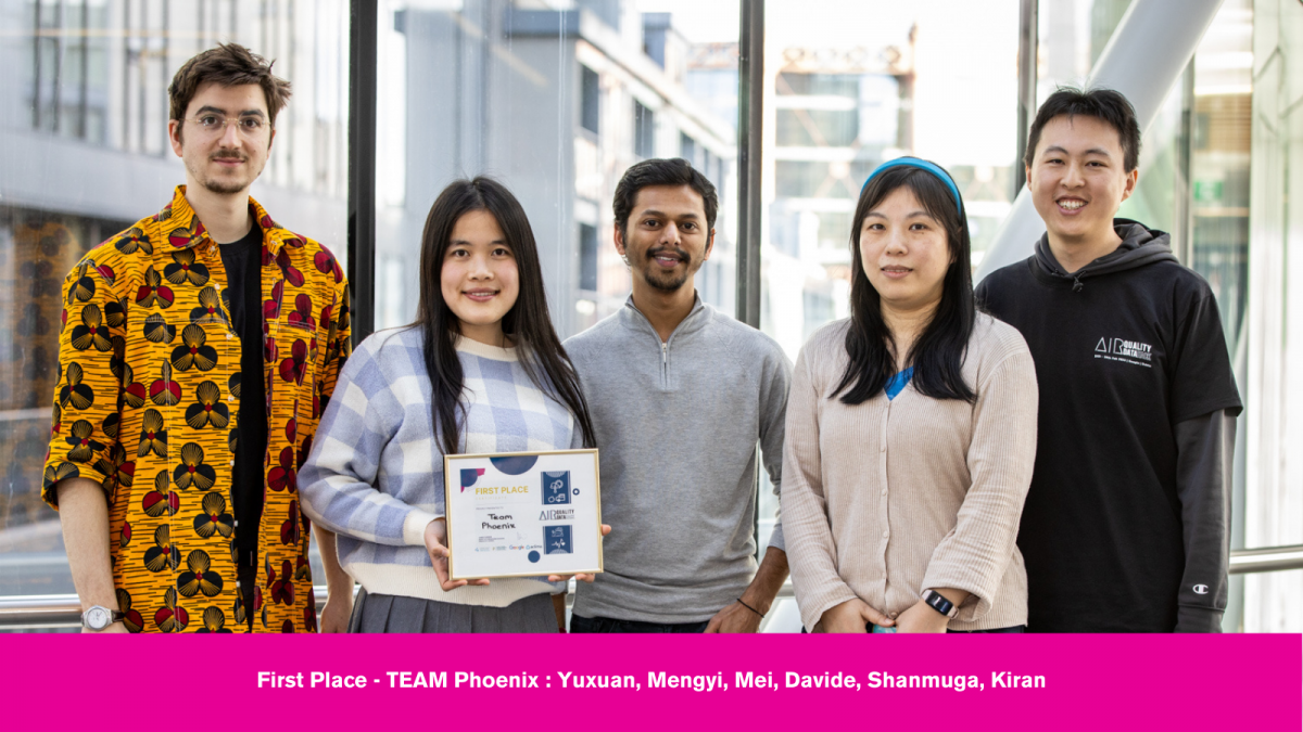
The winning team, ‘Phoenix’ developed a vulnerability mapping of the exposure to air quality using machine learning techniques. They performed hot spot analysis and vulnerability assessment and created the vulnerability map of Dublin, taking into account exposure, adaptability, and sensitivity of the population. They classified the vulnerable zones and proposed priority routes for people and incorporating them to the Council’s Active Travel network for the city. This solution could be used by the City Council for infrastructure planning such as Active Travel Network, Pedestrianization, etc. The team’s pitch can be viewed here.
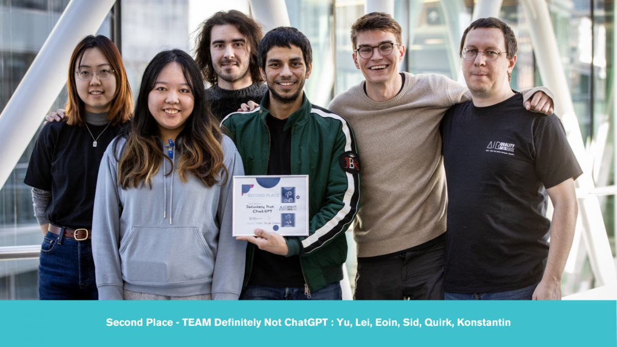
Second Place
The team ‘Definitely not chat GPT’ came in second place and developed a solution for measuring the hyperlocal air quality near Dublin Hospital by utilizing traffic data to map emissions data. This solution can assist the council in creating ways to make the streets greener and lower the risk of toxic pollutants. The team’s pitch can be viewed here.
Third Place
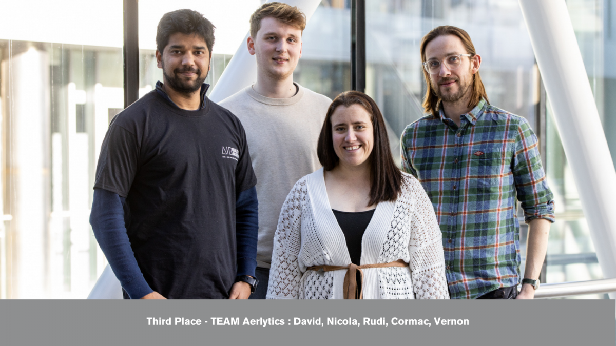
The team ‘Aerlytics’, who came in third place, created a solution for improving air quality in schools by identifying high-risk schools using air quality data and geo-coded primary schools. This solution could be used to introduce traffic calming measures, plant more greenery, limit construction, and install HEPA filters in schools, making the environment around Dublin schools safer and reducing the health risks for students. The team’s pitch can be viewed here.